
Corona Neighbors: Block Source Map
A block lookup is a set of narrow records, not one complete resident list. Riverside County Map My County shows the parcel shapes and public map layers. Riverside ACR supplies the property and recorded-document paths. California voter data has a qualified-purpose route, while Corona’s neighborhood and HOA layers publish civic or management contacts without exposing private member rosters. The source you choose should match the question: which parcel touches the address, who is tied to a recorded instrument, what public contact serves the area, or whether a lawful voter-file request is available.
| Source | What It Shows About a Block | Access |
|---|---|---|
| Riverside Map My County | Parcel shape, situs, APN, nearby lots, and public layers | Free map search, click, and pan |
| Riverside ACR Property Search | Parcel identity, values, characteristics, and address fields | APN, Assessment/PIN, or address; owner identity is not displayed online |
| ACR recorder index | Recorded instruments for owners identified from a parcel | Free name index online from 1974; copies through ACR |
| Approved California voter file | Eligible registered voters and residential addresses, subject to suppression | Qualified-purpose application; not casual street browsing |
| Corona HOA GIS and public community contacts | Association boundaries, management fields, and voluntary civic contacts | Public layer or official contact route; no member roster |
Owners, occupants, and association contacts are different categories. A parcel can tie an owner to land, a tax mailing address can point away from the situs, and a civic contact can serve a zone without naming a household. The block method keeps those roles distinct instead of turning a map click into an unsupported claim about who lives there.
Find Corona Neighbors by Parcel
Map My County is the practical first move for adjacent parcels. Enter the address or APN in the search tool, zoom to the parcel, select the polygon, and leave parcel outlines visible. Then pan along the block and select each touching polygon. Record the APN, situs address, boundary, and any public layer that answers the question. Map layers can change, so the live layer list is part of the citation when a map detail matters.
- Enter the known address or APN in Map My County and confirm the target polygon.
- Write down the target APN, situs, and boundary before moving the map.
- Click each parcel that shares a boundary, then keep nearby parcels in a separate group.
- Use ACR Property Search for parcel detail and the recorder index for instruments tied to identified parties.
- Stop at the public parcel layer, or use an approved contact or records route when the next fact is restricted.
The process is address to parcel, parcel to APN, APN to public land fields, owner name to recorded instrument, and only then to a lawful community contact. For a whole named street and its longer record chain, use the Corona street directory walkthrough instead of treating a block view as a street-wide index.
Corona Neighbors: Adjacent Versus Nearby
“Adjacent” has a narrow map meaning. An adjacent parcel shares a boundary with the target parcel. A nearby parcel is visible in the same map area but may sit across a street, behind another lot, or farther along the block. Those categories should not be blended when a block question depends on which land parcels touch one address.
Map My County can show geometry, situs, jurisdiction, planning, zoning, flood, or district layers. Those layers describe geography. They do not certify a household, establish a current occupant, or turn every point within a map view into a neighbor. Record the parcel polygon and the reason it was included, then let the assessor or recorder answer the ownership question through its own channel.
- Adjacent parcel
- A parcel whose mapped boundary touches the target parcel.
- APN
- The county parcel number used to identify an assessment parcel.
- Situs address
- The physical address assigned to the land or structure.
- Legal description
- The recorded land description used in deeds and parcel records.
Keeping the terms precise makes a Corona neighbor search more useful for a family property question, a block-history project, or a safety concern. It also limits the chance that a map’s visual closeness will be mistaken for a personal connection.
Note: A map view can include nearby parcels, but only a boundary check supports the narrower adjacent label.
Build a Corona Block From APNs
The parcel record is the stable bridge between an address and the county’s recorded-document index. Riverside ACR Property Search accepts Property Address, APN, or Assessment/PIN. A representative parcel card can expose the property address, Assessment No. or PIN, APN or GeoCode, property type, TAG, acreage, business use, legal description, tax information, value history, similar sales, and transfer history with date, document number, and sale price. Owner and owner mailing address are absent from the online card under the current policy.
At county offices, owner identity can be supplied from an address or APN on public computers or microfiche. If a recorded instrument must be read or copied, the recorder’s self-service index is the online start, while an ACR counter or mail request is the fallback. A mail search without a document number needs the title or type, complete party names, estimated recording date, and parcel number. The recorder’s copy channel, rather than a commercial list, supplies the official image or certified copy.
- APN and situs address anchor the parcel.
- Legal description and subdivision fields help compare older deeds.
- Land and improvement values describe the assessment record, not the people inside.
- Year built, lot size, living area, and similar characteristics are clues when exposed.
- Transfer history connects a parcel card to a recorder document number.
Mailing is not living. A tax mailing address different from the Corona situs may be a contact clue, but it is evidence against assuming owner-occupancy.
Corona Assessment Rolls Show Ownership, Not Occupancy
Assessment rolls are strong for parcel identity and weak for a complete list of people. They can show an APN, situs, assessed values, property characteristics, legal description, and a mailing address. They do not enumerate every person who lives at the parcel. Household members, confidential residents, and people whose connection is not part of a recorded or assessment field will not appear simply because a map polygon was selected.
That limit matters when a block includes different kinds of records. A deed ties named parties to an instrument. A permit or code file may show an applicant, owner, contractor, or responsible party. A reverse directory may capture a subscriber or address occupant for a past year. None of those roles alone proves present residence. California’s public-record rules also permit redaction or withholding for protected complainant, investigative, juvenile, medical, sealed, or confidential material.
When ownership is the question, keep the APN, legal description, assessment fields, and recorder document together. When the question concerns a household, seek a dated directory, census entry, obituary, or other lawful source that actually describes the person’s relationship to the address. Do not make the parcel carry facts it was never designed to record.
Corona Voter Data Has a Narrow Block Use
California My Voter Status is an authenticated self-lookup, not an open name or street directory. It asks for first name, last name, full date of birth, and a California driver license or ID number or the last four digits of the Social Security number, with options for people who do not have those identifiers. The result can return registration status and address, party preference, language preference, polling place, ballot status, and county contact information after an identity match.
| My Voter Status field | Type | Required | What the form uses |
|---|---|---|---|
| First name | Text | Yes | Match the registration record |
| Last name | Text | Yes | Match the registration record |
| Date of birth | Month, day, year | Yes | Identity match |
| California driver license or ID | Text | Conditional | Exact identifier when available |
| Last four of Social Security number | Text | Conditional | Alternative match field where permitted |
| “I do not have” checkboxes | Checkbox | Conditional | Use when neither identifier is available |
Broader voter-file access is limited to election, scholarly, journalistic, political, or governmental purposes. A statewide request is $100. A specific voter request is $30 per voter, up to $100 and ten voters; a county-specific file uses the county registrar’s process and fee. The approved file can include name, date of birth, registration date, residential and mailing address, precinct, contact information, and party preference. Confidential voters are suppressed, and Elections Code sections 2188 and 2194 restrict the data’s use and identifiers.
Use My Voter Status for a person’s own authenticated check, or read the state voter-file request rules before seeking any broader dataset. The Riverside Registrar of Voters is the county contact fallback. A voter file is never a casual block directory.
Note: My Voter Status verifies the person who signs in; it does not create a public block search.
Corona HOA GIS Shows Boundaries, Not Members
Corona’s official HOA boundary and management layer adds a community contact path without exposing a private membership list. Its fields include HOA ID, type, name, management name, management address, contact and phone, landscape-maintenance company details, comments, council district, and polygon geometry. Examples named in the layer include Alegre Corona, Amberhill, Bella Vista, Cantebria at Corona Ranch, Corona Hills Owners Association, Eagle Glen Master, Green River, and Main Street at Mountaingate.
No authoritative public neighborhood-association member directory was located. Use the boundary and management fields to identify the right public contact, then confirm whether a voluntary association site, meeting notice, or city resource has a current point of contact. A management contact can answer a community question; it does not identify each household on the polygon.
Corona HOA GIS layer
Boundary, management, council-district, and contact fields for mapped associations.
Corona Police Neighborhood Watch
Voluntary groups can start or join a neighborhood-watch effort; member names are not published.
Community Zone Contacts
An address can be mapped to a police zone and commander or contact. That is service geography, not a resident list.
When a block question is really about a disclosed incident, use the Corona Police Records Section and the city request route. Releasable traffic reports are listed at $0.25 per page, and a local verification or clearance letter is listed at $27. Protected victim, juvenile, medical, and investigative details may be withheld.
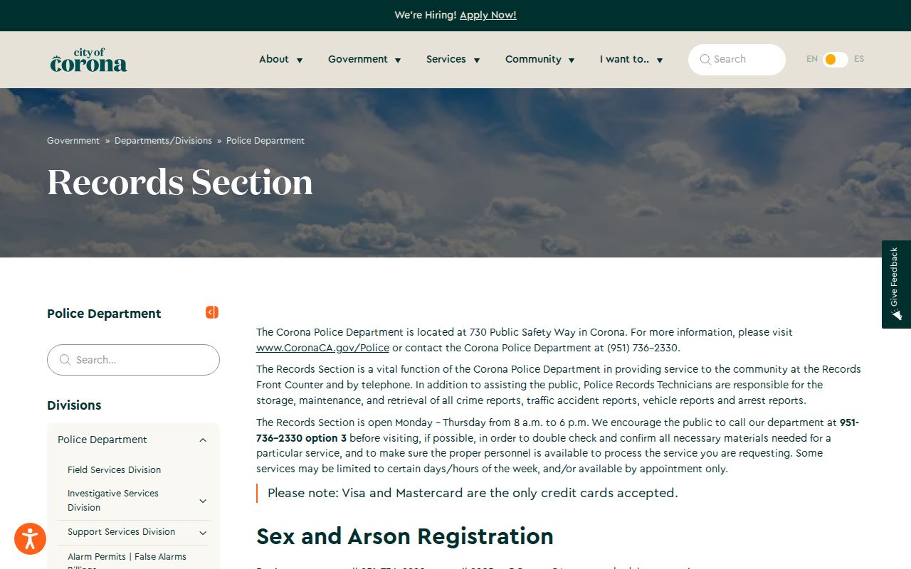
The image shows the proper lane for a police record: it can place a disclosed event in context, but it cannot identify every neighbor around an address.
Official Corona Rolls Versus Neighbor Tools
Commercial neighbor-lookup tools and official records answer different kinds of questions. A commercial service may combine purchased and public data, merge people with similar names, lag a correction, or hide the source of an address. An official record still has limits, but its custodian, field definitions, access rule, and correction path are visible.
| Source type | Useful strength | Important limit |
|---|---|---|
| County parcel and GIS records | Shows land geometry, APN, situs, jurisdiction, and assessment context | Does not prove who is inside or certify an owner online |
| Recorder index and copies | Ties named parties to a recorded instrument and date | Name and instrument evidence is not occupancy proof |
| Approved voter data | Can provide qualified, address-linked registration fields | Purpose limits, fees, suppression, and confidential records apply |
| Commercial neighbor category | May offer a broad lead in one interface | Provenance, freshness, correction, and lawful-use limits can be unclear |
For a block-history or personal-safety question, cite the official source that supplies the fact and stop when the source ends. A quick result is not a stronger result simply because it names more people.
Corona Neighbors and Privacy Limits
Some residents are intentionally shielded from ordinary address searches. California Safe at Home offers an eligible survivor or protected participant a substitute mailing address, mail forwarding, and confidential voter registration under program rules. The program covers qualifying survivors of domestic violence, stalking, sexual assault, human trafficking, elder or dependent-adult abuse, and reproductive-health workers or patients. Protected voter records and some official addresses are suppressed through separate rules.
Utilities, delivery records, DMV personal information, library-use records, and a complete list of household members are not open block directories. California CCPA and CPRA rights can apply to covered business data, but they do not automatically erase a deed, court filing, or assessment held under public-record law. Correction begins with the official custodian, not with a third-party profile.
The California Megan’s Law public search is another example of a special-purpose public record. It carries statutory exclusions and an anti-harassment warning, so it must not be repurposed as a general neighbor list.
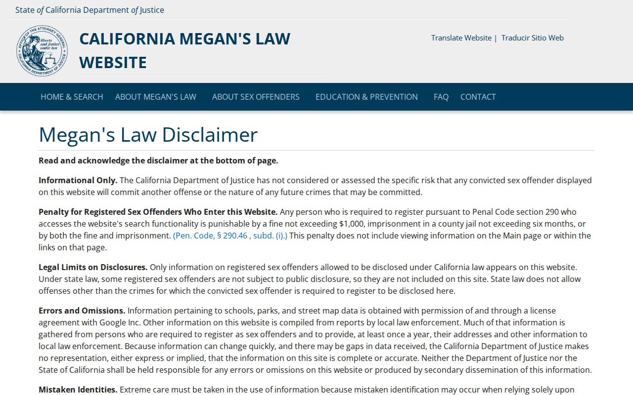
The image reinforces the boundary between a public safety registry and a block directory: access does not erase the rule that the information must be used lawfully.
Lawful personal use. Block research can support getting to know a community, reconnecting, civic participation, or personal safety awareness. Public records are not permission to watch, threaten, stalk, harass, or intimidate anyone.