
Turn a Corona Address Into an APN
Start with the physical address, then move through records that answer different questions. Riverside County Assessor-County Clerk-Recorder (ACR) Property Search can match a street number and name to a parcel, while Map My County adds the parcel shape and jurisdiction. The county assessor record supplies the APN, situs, legal description, and assessment details. Owner identity is available at county public computers or microfiche, but the online property card deliberately does not display the owner name. That distinction keeps an address search tied to a parcel instead of a guess about who occupies it.
- Run the address through Riverside County ACR Property Search. Normalize directionals and street suffixes, then save the APN, situs, legal description, mailing address, values, and any transfer history shown.
- Take the parcel identity to the Map My County viewer. Search by address or APN, click the polygon, keep parcels visible, and note the jurisdiction and the parcels that touch the target.
- Use the owner name obtained through the county office to search the Riverside recorder index. Search the deed chain by party name, recording date, document type, and the same legal description, rather than by name alone.
- Treat California My Voter Status as an authenticated self-lookup. A broader voter-file request needs a qualified purpose and an application, so it is not a casual street-by-street list.
- Finish with the Heritage Room's reverse or criss-cross material. An address can point to a historical occupant or telephone subscriber, but the volume, year, and publisher determine what the entry actually proves.
The chain is address to APN, APN to owner, owner to deed, approved voter source to limited registration evidence, and street number to an older directory clue. Each handoff needs its own check.
Corona Street Records by Address
Address-keyed records in Corona are split among city, county, state, and library custodians. A parcel can anchor the search, but no single roll names every person connected to a street. The table separates ownership evidence, geographic context, recorded instruments, municipal activity, qualified voter data, and historical occupant clues. That separation matters when a record shows an applicant, contractor, mailing address, registered voter, or past subscriber rather than a current resident.
| Record Set | Keeper | What It Shows | Access |
|---|---|---|---|
| Assessor parcel | Riverside County ACR | APN, situs, assessed values, characteristics; owner identity at county offices | Online address/APN search; public county computers or microfiche |
| GIS parcel map | Riverside County Map My County | Parcel geometry, adjacent lots, jurisdiction, and selected layers | Free viewer; mapped information is not certified |
| Recorder instruments | Riverside County ACR | Named parties, document type, recording date, and document number | Free index from 1974; online, office, mail, or phone copy channels |
| City permit or code file | Corona Planning/Building and City Clerk | Address, work, dates, applicant, contractor, or owner where public | City systems, CPRA request portal, counter, or phone |
| Reverse directory | Corona Public Library Heritage Room | Historical occupant or telephone-subscriber snapshots by street number | In person; request offsite material before visiting |
| Qualified voter file | California Secretary of State and Riverside Registrar | Residential addresses for eligible records, excluding protected records | Authenticated self-lookup or approved-purpose application |
The APN ties the assessor card to GIS and can help locate a deed's legal description. The street name ties permits and directories to place, while the recorder's party name ties the instrument to a person. A mismatch is a signal to stop and check the source, not to merge the records.
Corona Street Search Fields at the Assessor
Riverside County's property search has a narrow field set. It accepts an address, APN, or Assessment/PIN, then returns matching parcels for detail-card review. For an address, enter the street number and street name, such as 123 Main, and normalize directionals before trying variants. For an Assessment/PIN, the research notes that the first nine digits are entered without the dash and check digit.
| Field Label | Type | Required | Options / Format Notes |
|---|---|---|---|
| Property Address | Text | Mode-dependent | Street number and name; normalize directionals and suffixes. |
| APN | Text | Mode-dependent | Use the digits shown by GIS or a tax record. |
| Assessment/PIN | Text | Mode-dependent | Enter the first nine digits without the dash or check digit. |
| Search | Button | None | Returns matching parcels for selection. |
| Results | List | None | Selecting a parcel leads to its detail card. |
The representative parcel card records APN and situs, property type, acreage, legal description, land and improvement values, transfer history, and controls for tax information, similar sales, value history, and a property report. Owner and owner mailing address are absent from the online card, so a street directory must not treat its absence as proof that no owner is known.
For a visual example, the Riverside sample parcel valuation shows the fields that make a Corona address traceable without turning the card into a people list.
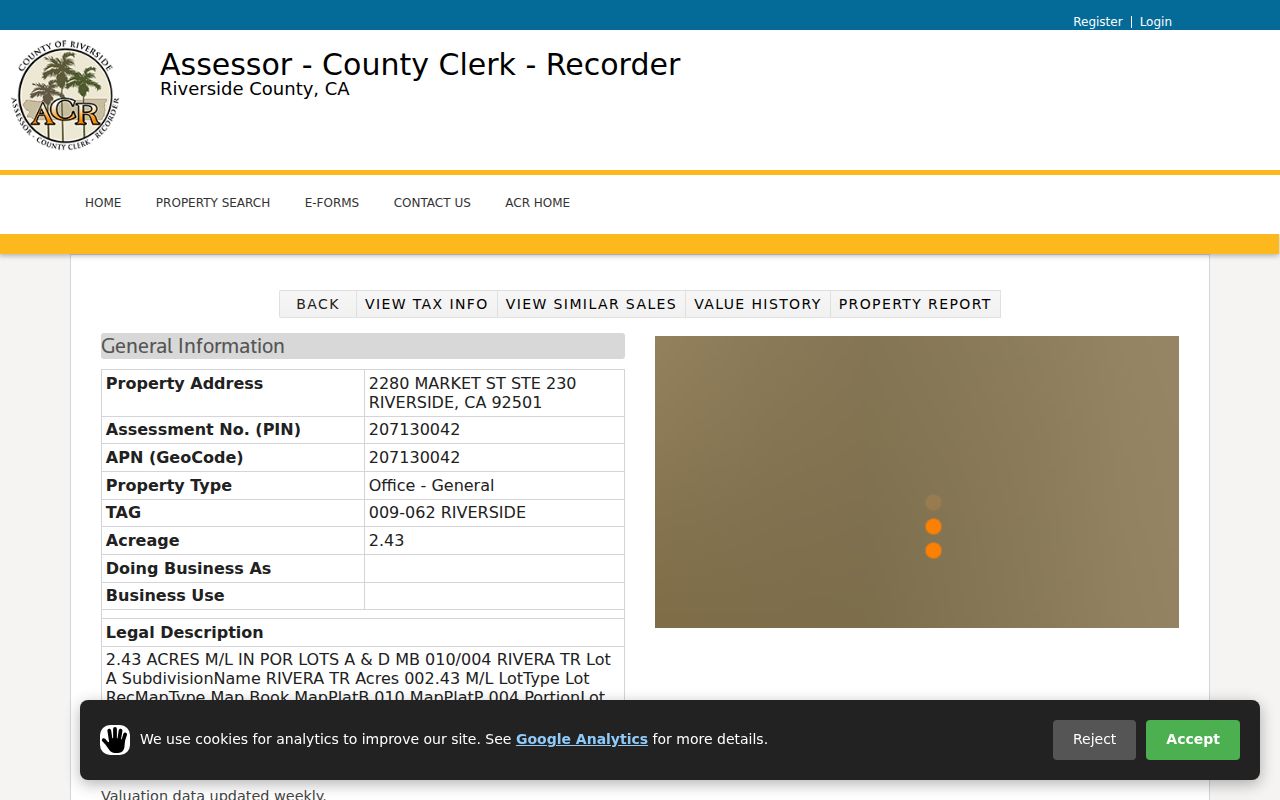
The parcel view is useful for starting a deed search, but its values and characteristics are informational. The legal description and APN are the stronger bridge when a street label changes or when two addresses look alike.
Browse Corona Streets in Map My County
Map My County adds a geographic check to the Corona street directory. Enter an address or APN, zoom to the selected parcel, and click the polygon for attributes. Keep parcel lines visible while panning along the street. Click adjacent polygons one at a time, recording each APN and situs address. The viewer also exposes jurisdiction, planning, zoning, flood, and district layers that describe place, not the people connected to it.
Corona's official HOA boundary and management layer is a useful example of the difference between a community contact layer and a resident roll. It includes HOA ID, type, name, management contact details, landscape-maintenance details, council district, and polygon geometry. Names in the layer include Alegre Corona, Amberhill, Bella Vista, Cantebria at Corona Ranch, Corona Hills Owners Association, Eagle Glen Master, Green River, and Main Street at Mountaingate. These are management or boundary records, not member lists.
The Corona HOA GIS layer shows how a street can be placed inside a named association boundary. Use the layer to orient a parcel and find a public contact, then return to county records for land facts.
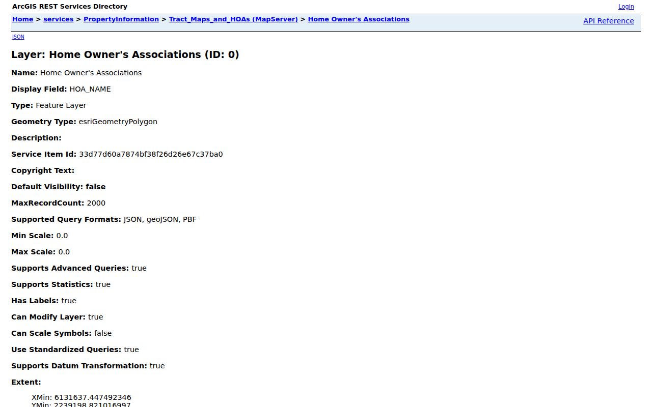
The image illustrates a boundary and management view, not a roster. Layer names and contacts can age, so compare them with the live map and the city's current community information.
Corona Street, Mailing, and Legal Addresses
Three address labels can point to one parcel while answering different questions. The situs tells where land sits. The tax mailing address tells where an assessment notice goes. The legal description identifies the land in a deed or map. A street directory becomes more reliable when these are kept in separate columns.
- Parcel
- A county assessment unit with an APN, mapped shape, and property details. It is a land record, not a list of household members.
- Situs address
- The physical property location tied to the parcel. It can differ from the mailing address.
- Tax mailing address
- The destination for an assessment notice. A different mailing address can be a contact clue, but it does not prove where the owner lives.
- Plat
- A recorded subdivision map that can place a lot, block, tract, or parcel in the legal land framework.
- Criss-cross directory
- An address-ordered section that turns a street number into an occupant or telephone-subscriber clue for the years covered.
When a parcel card, map, deed, and older directory disagree, keep all three address identities visible. A mailing ZIP can also reach beyond incorporated Corona, especially in the 92883 postal geography, so city jurisdiction needs a GIS check.
Note: A tax mailing address can help locate a record holder, but it is evidence against assuming that the owner occupies the Corona situs.
Corona Street Owners and Recorded Deeds
Once the county office supplies a name, use the Riverside ACR Official Records Search. Individual names follow the surname-first format `LAST FIRST MI` without punctuation. A last name with a first initial broadens a result set. Search by recording date and document type, then compare the legal description or APN reference. The index proves that an instrument was recorded. It does not prove that every statement in the instrument is true or that a party occupied the situs.
The recorder web index reaches 1974 forward. Clerk documents reach back to 1893, but those are not the same coverage line as recorder documents. A no-result before 1974 is therefore a cutoff clue, not proof that a deed never existed. Additional ACR modes include document number, document type, map type, book/page, and advanced name searching. Organization names should follow the recorded spelling.
Index access is free. A copy costs $8 for the first page, $1 for each additional page of the same document, and $2 for certification; online card orders add a 2.15% fee. Office orders use an SST cart and may be same day unless the research is old or extensive. Office computers at county locations cover roughly 1975 forward, while 1974 and earlier material is available only at Gateway Riverside, 2724 Gateway Drive, Riverside.
Mail a search without a document number with the title or type, complete party names, estimated recording date, and parcel number. For pre-1976 material, the office limits a mail search to two years after the estimated year. Mail goes to Riverside County Recorder, Attn: Certified Section, P.O. Box 751, Riverside, CA 92502-0751, with a stated one-to-two-week turnaround. The recorder lists 800-696-9144 and 951-486-7000 for weekday questions.
For a source image, the Riverside County public-records index places the recorder route among the county's official custodians.
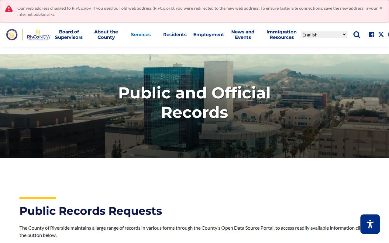
Use the index to locate an instrument, then order the image or certified copy when the legal question requires primary evidence. Names alone are not enough.
Note: A 1974 cutoff marks the online index boundary; it does not close the earlier deed trail.
Corona Street Permits as an Address Timeline
Permits and code cases can add dates between assessment and deed events. A file may identify the address, work, applicant, contractor, owner, or responsible party when disclosure permits. That makes a permit a timeline clue, not a residence record. Complainant identities and investigative details may be withheld.
Begin with the city's building, planning, business-license, council-meeting, municipal-code, public-hearing, and Planning Commission resources. If the needed file is not available online, submit a focused request through the Corona public-records portal. State the department, date interval, address or APN, permit or case number, and desired electronic format. The portal separates City Records from Police Department and Animal Services requests, provides a public request archive, and supports account tracking.
The Corona City Clerk public-records process is the local counter and phone fallback for city records. Its published process gives the Corona address and hours, while county ACR remains the custodian for deeds, document recording, and assessment records. The city and county division prevents a street search from being sent to the wrong desk.
The Corona records portal view shows the request path and its separation of city and police or animal-service routes.
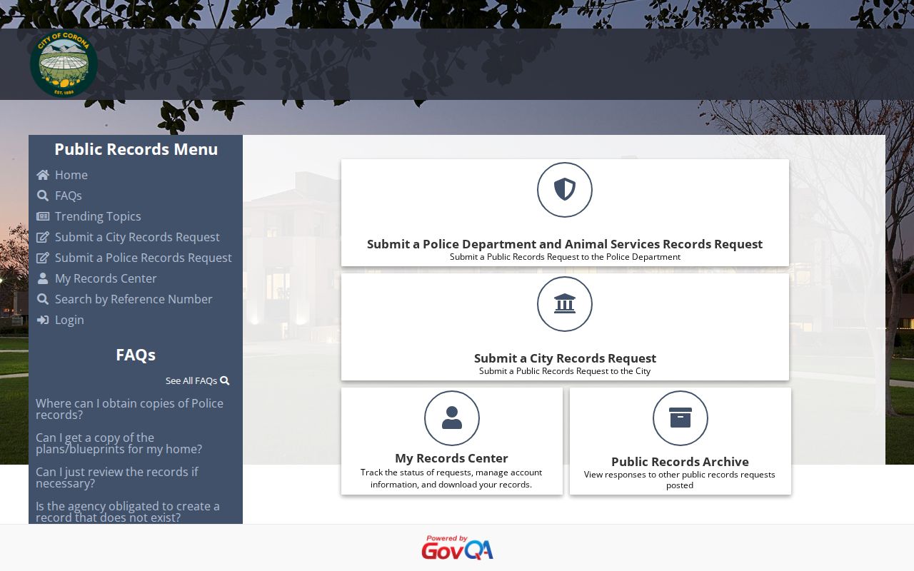
A permit can explain when work or an application touched an address. It cannot fill in every household member or convert an applicant into an occupant.
Read Corona Streets Through Reverse Directories
A reverse or criss-cross directory starts with a street number and may return an occupant or telephone subscriber for a particular edition. That is the historical layer of a Corona street directory. The Heritage Room holds Riverside City and County directories on microfiche from 1889-1966, but the exact list of hardcover Corona volumes is not published. The room also holds maps, manuscripts, yearbooks, organizational records, newspaper microfilm, and ephemera that can explain a move or a name change.
Some material is offsite. Request retrieval before visiting. Research appointments are available Tuesday through Thursday during closed hours with at least one week's notice. Staff can explain a volume's title page and abbreviation key, and the library's digitization tools can support permitted copying. The Corona city directory collections page separates those historical runs from the modern parcel chain.
The telephone material digitized by the Library of Congress shows why edition control matters. A reel can include several targets and nearby communities. OCR may find a surname or address, but the scan should be checked because OCR errors occur. A reverse entry is a lead about the recorded subscriber or occupant in that edition, not proof of a present-day household.
Corona Voter Records Are Not a Street List
California My Voter Status is an identity-authenticated self-lookup. It asks for first name, last name, full date of birth, and either a California driver license or identification number, the last four digits of a Social Security number, or the applicable no-number choice. Results can include registration status, address, party preference, language preference, polling place, election information, ballot status, and county contact information after a match.
That tool does not create an open Corona street directory. Qualified voter-file access is limited to election, scholarly, journalistic, political, or governmental purposes. The state application lists $100 for a statewide file and $30 for a specific voter request, with a $100 maximum and up to ten voters; county-specific files go to the county registrar under its fee rules. Protected records are excluded, and unauthorized use carries consequences.
Note: An authenticated voter result can verify one person's registration status, but it cannot establish that every person at a Corona address lives there now.
Corona ZIPs, Streets, and Jurisdiction
A postal label and a city boundary are not the same map. Corona's GIS shows ZIP or ZCTA layers for 92503, 92879, 92880, 92881, 92882, and 92883, plus locally added 92878. ZIP 92877 is the Citrus post-office designation and lacks a Census polygon. The 92883 mailing geography reaches toward Temescal Valley, where a Corona postal address may sit outside incorporated Corona.
USPS answers the delivery question. County or city GIS answers the jurisdiction question. The USPS record of the July 11, 2020 change explains that 7,765 deliveries moved from 92880 to 92878. A street directory should preserve the older ZIP when reading an older record, then use the current parcel map to determine the incorporated city.
For one address, compare the USPS ZIP change notice with the county parcel and city boundary. Do not use a ZIP-wide search as a substitute for an APN, situs, or legal description.
What a Corona Street Directory Cannot Show
A parcel card does not list every occupant, household member, guest, or person who receives mail. DMV personal information is not a public address directory under the federal Driver's Privacy Protection Act. Utility customer records are not a street roll. Safe at Home participants and confidential voter records may be suppressed, and library-use details remain private. Even an official deed is evidence of a recorded instrument, not proof of current residence.
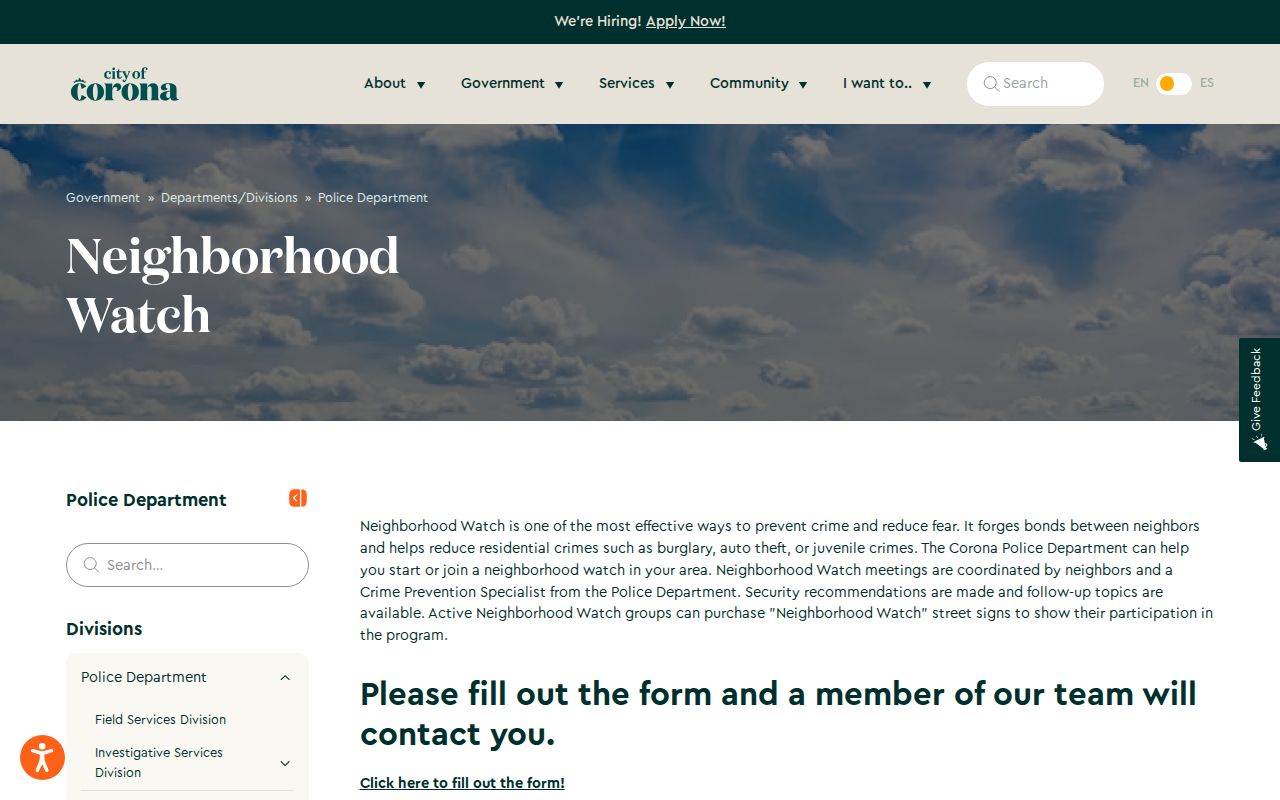
Community programs have the same boundary. Corona Neighborhood Watch helps residents start or join voluntary groups but publishes no member roster. The public page can point to civic contact channels without turning a street directory into a list of private people.
The Neighborhood Watch source view is a reminder that public safety information can be useful without naming a block's members.
Corona address records are available for personal, lawful research. California Penal Code section 646.9 and Code of Civil Procedure section 527.6 address stalking, harassment, and protective orders. Do not use a street directory to stalk, harass, intimidate, or harm another person.
Lawful use. Corona street and address records can support personal research, genealogy, property history, and civic curiosity. Public access is not permission to stalk, harass, intimidate, or facilitate harm.